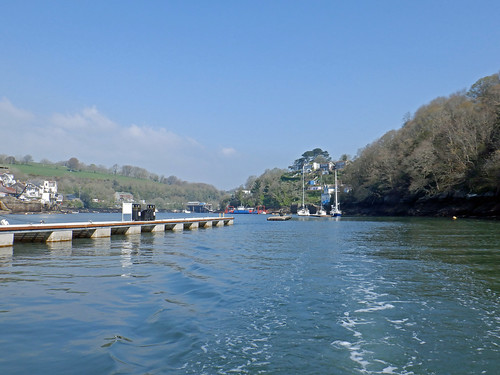
A bumpy start motoring directly into wind and waves to the Runnel Stone, ideally I would have left at about 02:00 for the best tide around Lands End but I compromised to get more sleep and left at 04:45 which would allow me to clear Cape Cornwall before the tide turned and would also allow a bit more time for the wind and waves to moderate.
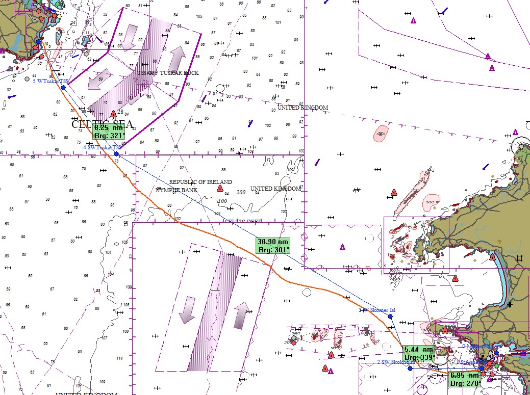
With contradictory forecasts from different models, I left not knowing if I would be heading direct to Ireland, to Milford Haven, to St Ives or further up the Cornish or Devon coast, that was resolved when I downloaded multiple models at 08:40, had the inshore and shipping forecast from the UK Met office and the forecast from Met Eireann. St Ives would likely be too exposed to waves and a poor starting point going NW, Carnsore was a long way off in light winds and would require much more motoring so I decided on Milford.
.JPG) |
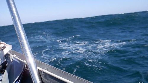
A few large sets where coming through as I passed The Longships
but now it was reasonably comfortable as I was not bashing directly
into the waves. |
The engine went off at 08:00 and I was sailing on a reach in a WNW Force 3 - 4, after 3 hours the wind backed to WSW at 3 - 5 knots and the engine went on for a couple of hours until the wind had backed further to SW and increased back to F3 - 4 so at 13:30 the engine went off and I was making good progress with the cruising chute.
From mid afternoon mist turned to fog and by late afternoon visibility was some times down to less than a quarter of a mile. The engine had to go on again at 18:18 when the wind had dropped to 4 - 7 knots and stayed that way for the rest of the night.
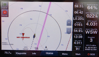 |
Sailing in fog is always tense, even with radar and AIS to help.
Here the Irish fishing boat went right around me unseen as I went
N making 5.5 Knts through the water, 4 over the ground.
The first “Range Ring" is half a mile from the boat. |
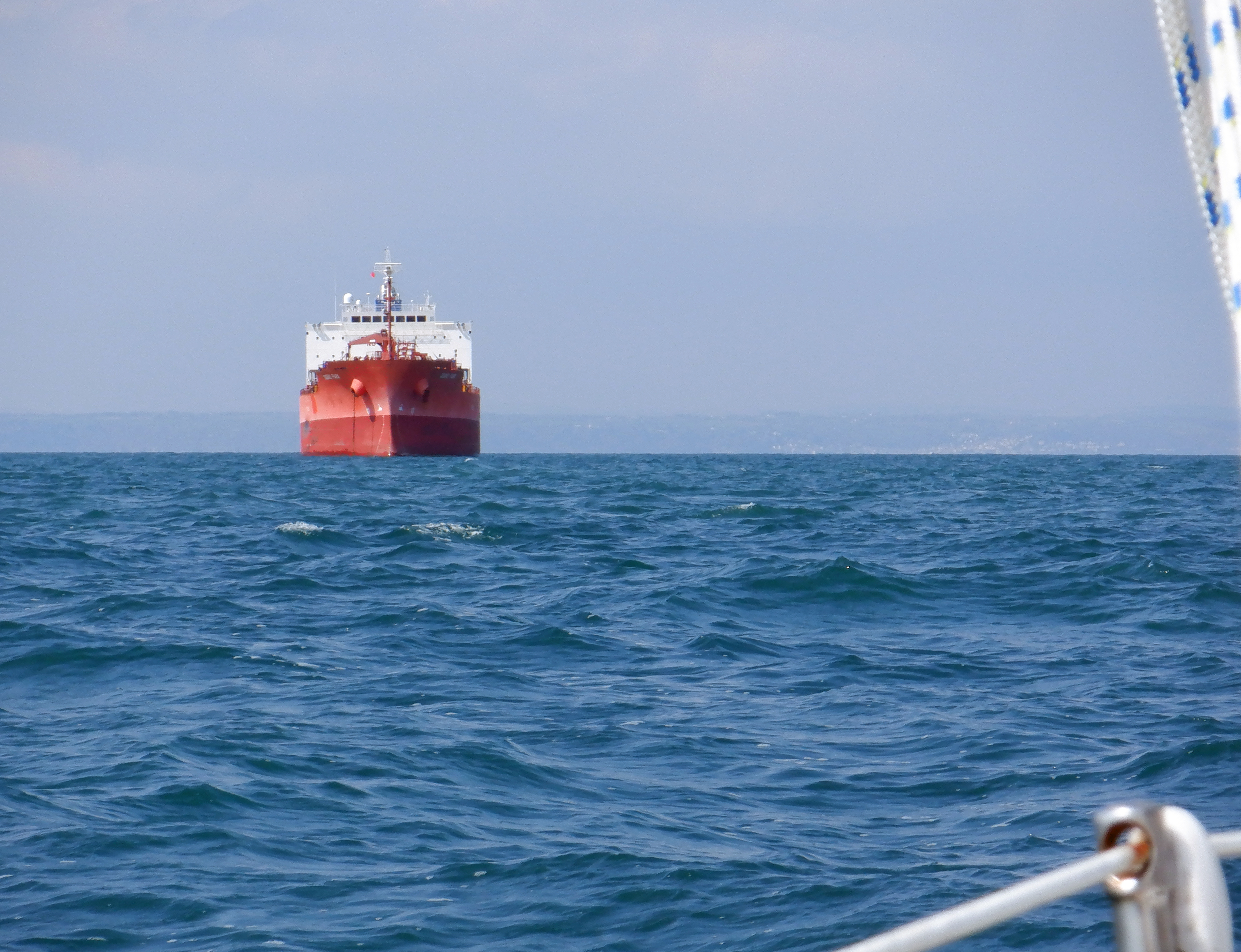
The fog got gradually worse and by Turbot Bank, 3 miles short of the entrance to Milford Haven, the visibility was down to well less than a cable (200 yards) and I was navigating with 2 independent GPS systems and charts (the plotter and an iPad with Admiralty charts) and Radar.
Milford Haven VTS (Vessel Traffic Service) called at that time with traffic information, a request for current visibility at my location and to ask for my intentions as a ferry was outbound, fortunately using the west channel whilst I was using the east but it was another thing to keep an eye on with Radar and AIS.
I was spending a lot of time watching the radar, and paying the price with a "crick" in the neck as I could pick up the buoys at a mile or more on radar but only at 1 and later 2 cables visually - and these are big well lit buoys to help the big tankers going in and out.
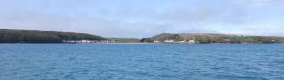
I anchored on Dale Shelf at 04:15 for a few hours sleep and a rest day before heading for Ireland.
 |
| Dale |
.JPG) |
The big French catamaran on the right left Newlyn 8 hours after
me but despite having a foul tide around Lands End arrived
only 1.5 hours after me. |
A quick passage with a lot of engine and some quick sailing, 119 nautical miles in 23.5 hours.
.JPG) |
| Canadian yacht White Cloud, we would meet again, more than once. |
Click here for Milford to Ireland.
.JPG)
.JPG)
.JPG)


.JPG)
.JPG)
.JPG)


.JPG)
.JPG)
.JPG)
.JPG)



.JPG)