 |
| Leaving Plockton |

I was ready a bit early so left at 07:30 in a flat calm hoping to get some sailing in on the way to the Kyle Rhea, I did get to sail a couple of miles out from Skye Bridge to a mile or so beyond, making 3 knots or less, before I put the engine on the make slack water, such as it is, at the Kyle Rhea.
 |
| Skye Bridge |
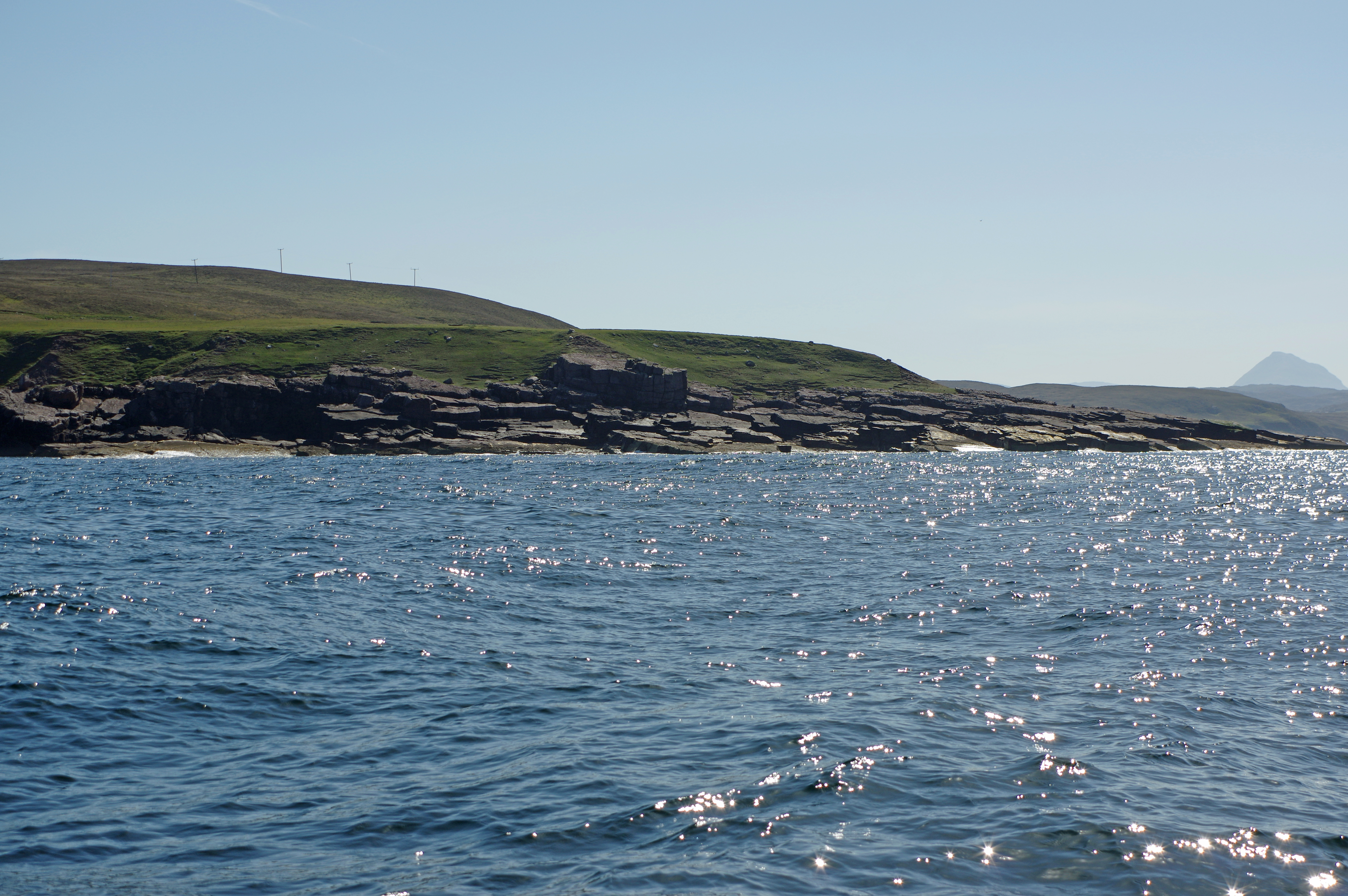
Entering Loch Alsh.

[..] I think the boat in front is the big American boat that was across the pontoon from me in Stornoway, she came in from Broadford Bay, now on the hammerhead in Tobermory. It was fun catching he up in the v light wind 😀
Response from someone I know who is a keen and good racer [and he knows I did an awful lot at high level racing back in the day]
Now now Mr. Lashbrook, you are not racing, are you ? 😄[..] heaven forfend. Anyway it wasn’t a fair fight, 40+ft of lumbering steel against 3.5 tonnes of A9m in 5 knots of wind broad reaching, me with a 150% deck scraper, his headsail rather smaller (nether of us put mains up till later, if I’d put the kite or chute [up for such a short distance, I guess you would have had a point?]) Mind you I’d swap for a transatlantic if someone would do the heavy lifting for me 🙂
 |
| Pleased with the timing despite some slow sailing, planned arrival at the Kyle Rhea was 10:20. |
 |
| I was the third of at least 6 yachts heading down the Kyle Rhea at the beginning of the tide. I had hoped to cut the corner half way through but a fish farm boat was coming the other way against the first of the tide. |
Overfalls getting started just 20 minutes after the tide
turned. There is a better video of the overfalls here
 |
| Plockton past Skye Bridge and through the Kyle Rhea. |
I had a good but brief sail from south of Eigg for about an hour, the wind set in again sometime later but, after waiting to see if it would hold, it then backed 40 degrees in the time it took to unfurl and sheet in the headsail so it was back to motoring.

 |
| Ardnamuchan Point, the sea bigger than it looks but no problem about 1.5 knots of adverse tide but an hour later I had slack water for the last leg into Tobermory. Not for the first time as I have past in the evening there were huge flocks of Guillemots on the water east and north of the point. |
 |
| Plockton to Tobermory, 58 NM in twelve and a quarter hours, most of it motoring. |
It now looks as if I will be stuck in Tobermory for some time, my Facebook post this morning:
I guess I could go to a sheltered loch to anchor but even Loch Aline could be a bit iffy with the strong wings coming everywhere from c S through W to N. So I think I’ll stay on the mooring.It was probably a good choice to opt for the mooring rather than a pontoon, assuming a place was available, cheaper, private and with all the wind no problem with electric power. The down side will be having the dinghy in the water in those winds and probably needing the engine on it to get ashore, but if there is no extended quite period I have fresh food to last through Tuesday so could easily wait till Wednesday to blow it up.
I just hope my last surviving carrot will last another couple of days for the spag bollthe mince having the longest use by date."
The UKMO 03:30 and ECMWF models for Monday evening


Click her for a separate post on my stay here and the weather updates.


.JPG)

.JPG)


