I had rather a disturbed night, after getting into the bunk early the anchor alarm went off at 01:00, the wind had gone from south west to north east and the anchor was not quite where I said it was and, with a tight set up and at low water, the boat went a few feet over the boundary. The wind then went a little north of west and the boat got a little rocky.
 |
| The boats track overnight shown after I had corrected the anchor location, its never easy to get it spot on and I usually set the alarm allowing for a larger merger of error. |
 |
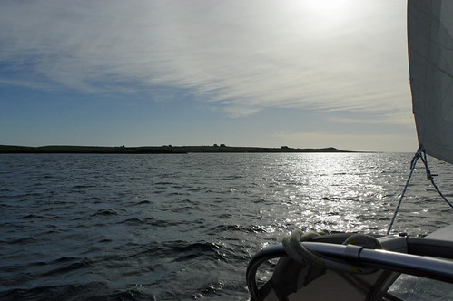
| Copland Island, the channel looks wide but the channel is only about 200 yards across with over-falls possible at the southern end. Unfortunately the sun was clouded over not long after the pic. |
 |
| Ardglass marina is a little cramped around the edges. The commercial harbour is the other side of the drying rocks, a few fishing boats can be seen in the background. |
 |
| Victorian bathing hut, fish dock back right, entrance back centre Marina off to the left, the mole just visible. |
With F6 (+?) winds forecast for tomorrow evening I will be here for at least a couple of nights. I’m not sure when I can move out, Irish marinas etc. are closed due to Covid-19, so if going south I need a long window because on shore or northerly winds restricts anchoring options and going east also has issues with some wind directions.
35.6 miles over the ground in a little over 7 hours averaging 5 knots mostly under sail and taking it easy.
Slide show all of my pictures Bangor to Ardglass. Page through by clicking the arrows or click in the centre of the pic to view from Flickr in a new window or full screen:


No comments:
Post a Comment